


Itinerary Ring Loppiano
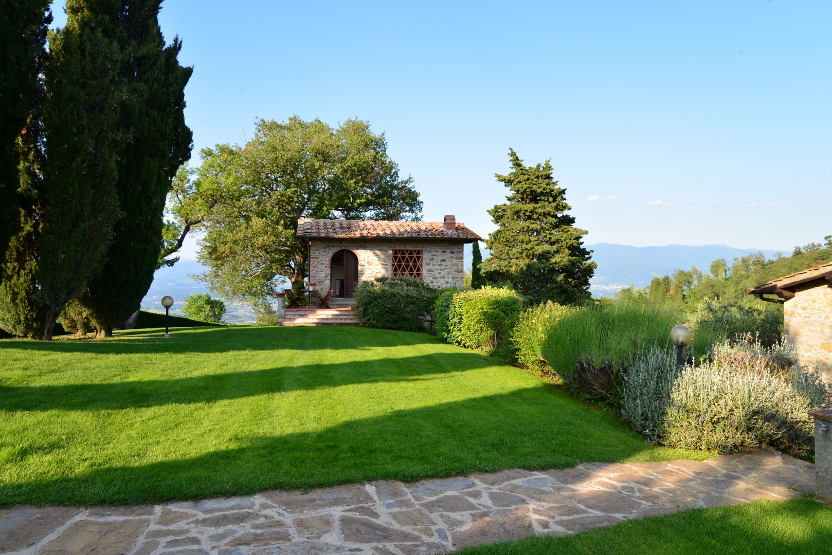
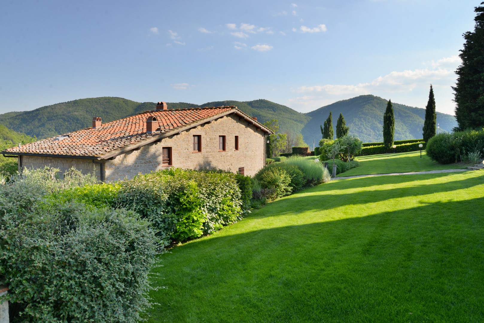
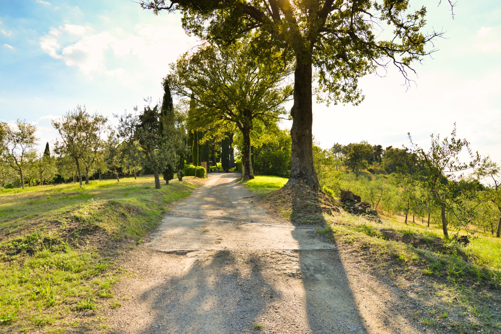
An easy route through our campaigns along mainly narrow paved roads and dirt roads. We start from Poggio alla Croce following the CAI path number 5 that will take us up to Loppiano. But before we get there, we will be able to see on our right the ancient Castle of Pratelli, now a private residence. In the fourteenth century, it suffered damages in the context of the struggles between Florentine black Guelphs and white Guelphs, after being used in 1312 as a bulwark to bar the way towards Florence of the troops of the German Emperor Henry VII.
From Loppiano we continue on the county road to get to the shrine of Mary Theotokos, and therefore, to the resort L’Entrata, passing through cultivated fields and small clusters of stone houses. Slightly uphill, in about an hour and a half walk, we go back to Poggio alla Croce, through San Cerbone’s little hill.
The boards of the routes are kindly provided by poggioallacroce.it.
