


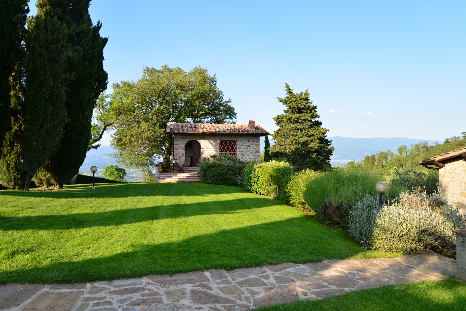
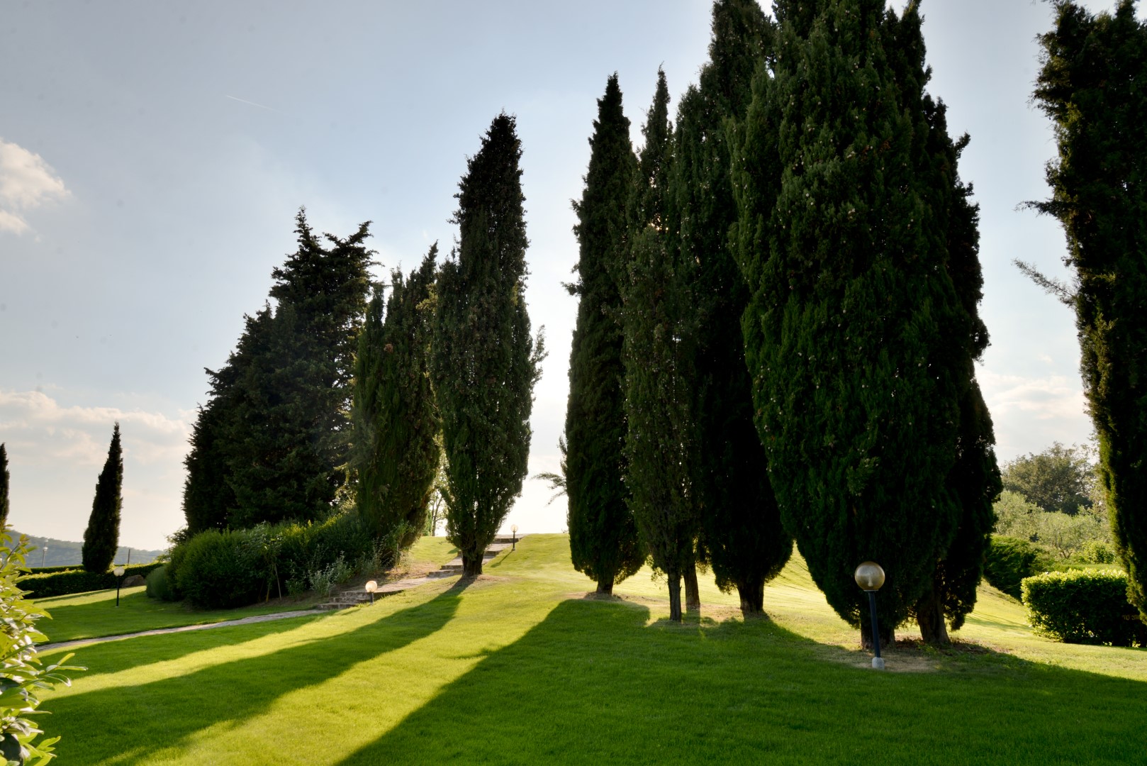
Itinerary Ring Poggio Citerna
From Poggio alla Croce, slightly uphill, once arrived at the crossing of Crocina (m 530), we go up to the right for a long pathway that leads us, in a few minutes, to Citerna’s hill (m 590), where an iron cross stands. Here an area equipped with wooden benches, in the shade of oaks and chestnut trees, welcomes us, along with beautiful views of the Poggio alla Croce, the Vald'Ema and over the plain of Florence (in the days of clear sky we can see the Duomo as well).
Continuing along the path that winds pleasantly along the ridge, we reach the Valdarno side of the hill (m 582) and there, our eyesight can go far, up to the plain of Arezzo.
Citerna’s hill, on this side, not only offers wide-ranging views, because here, the ruins of a female monastery dating back to the seventeenth century are visible among the vegetation. For nearly two centuries, some Augustinian nuns have lived up here, probably by occupying a fortified building of even older origin, before they were recalled in the city, at the end of the fourteenth century. Their presence here is part of that varied phenomenon, female eremitism, which had, at the end of the Middle Ages, an extraordinary diffusion, even in Tuscany.
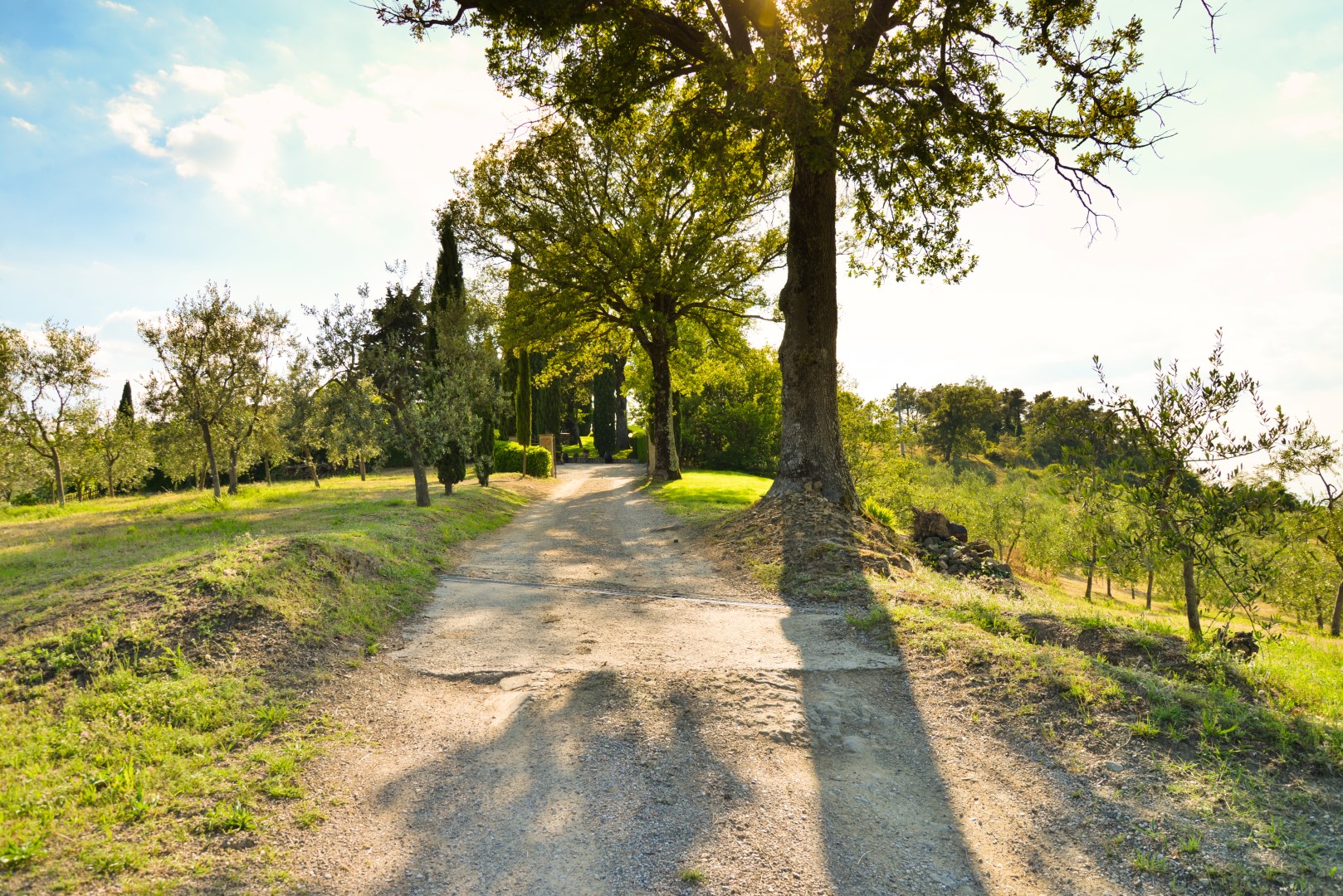
An easy path, probably the same once followed by the nuns, brings us back to the village of Poggio alla Croce, which, until a few centuries ago, consisted only in a small country hospital and little more.
The boards of the routes are kindly provided by poggioallacroce.it.
